 CoreFlow
 HumBizz
 Vidi
 LeadPrism
 Zeno
See every field. Act on the ones that need it.
Crop health, water and yield, mapped from the air and turned into work your teams can do this week. For agriculture departments and growers alike.
UAE · Malaysia · India · South Africa
One plan, from flight to actionSurvey partners fly and capture. We score, report and route the work.
Built around your seasonFlights timed to planting, growth and harvest, not to our calendar.
Fits the tools you haveResults land in your GIS, ERP or a simple dashboard.
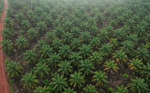
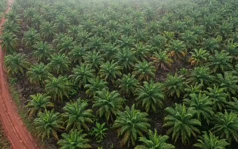
 Block 14 · 1,284 palms
Yellowing · check drainage
The same survey, two different questions.
A ministry wants to know what is planted and where help is needed. An estate wants to know which blocks to work first. Pick yours.
Every step has a named owner.
Who owns each step is written into the plan, so nothing falls between two companies.
- 1
 Fly
Survey flights planned for your fields, height and season.
Survey partner - 2
 See
Imagery stitched and checked. Plants, gaps and stress detected.
Survey partner - 3
 Decide
Findings scored against your history, weather and targets.
InfinetCX - 4
 Act
Work orders, reports and maps sent to the people who act.
InfinetCX
Every block scored, with a next step attached.
After each flight, each block gets a health score, the change since last time and the likely cause. Click a block.
Your field data stays yours.
We plan storage and access around the law where you farm: PDPL in the UAE, PDPA in Malaysia, the DPDP Act in India and POPIA in South Africa.
Reply within 1 business day · or write to info@infinetcx.com